About Kaura
Discover the culture, geography, and economy of Kaura Local Government Area.
General Information
Leadership
- Executive Chairman: Hon. Matthias Siman
- Vice Chairman: Kaura Local Government
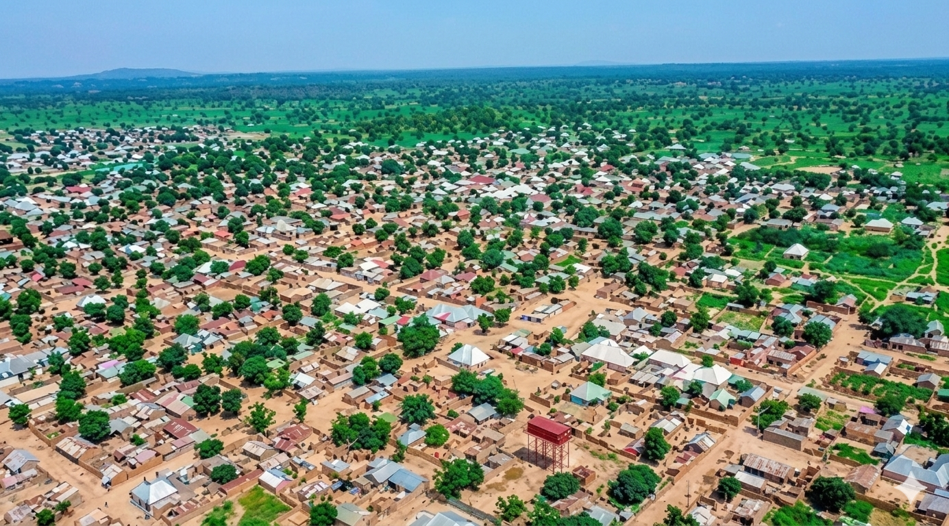
Location & Geography
- Location: Southern Kaduna State, Nigeria
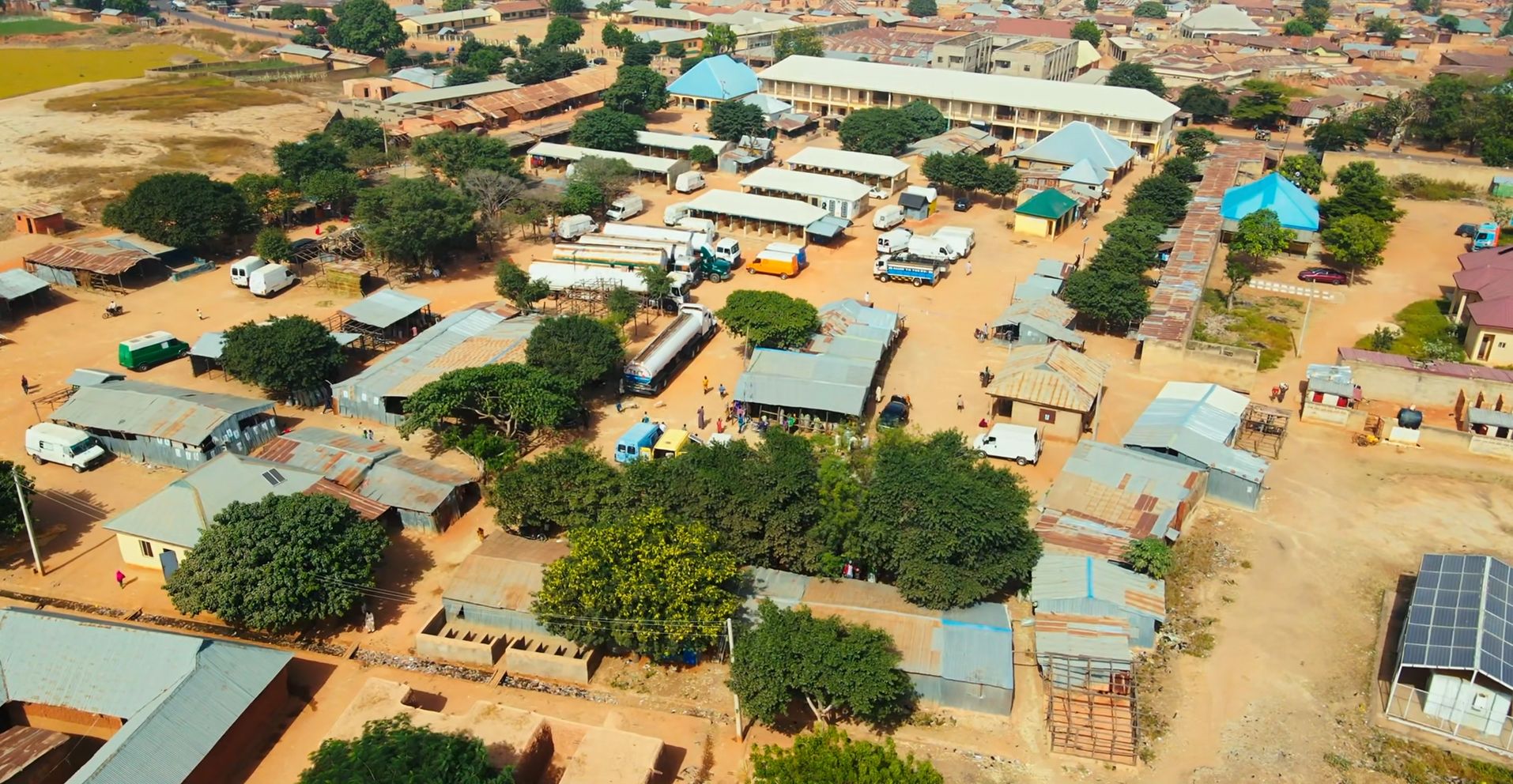
- Headquarters: Kaura Town
- Boundaries: Zangon Kataf (west), Kauru (north), Jema'a (south), and Riyom LGA of Plateau State (east).
Demographics
- Major Ethno-Linguistic Communities: Atyap, Agworok (Kagoro), Asholyio (Moro'a), and Takad.
- Languages Spoken: Tyap language varieties, Hausa, and English.
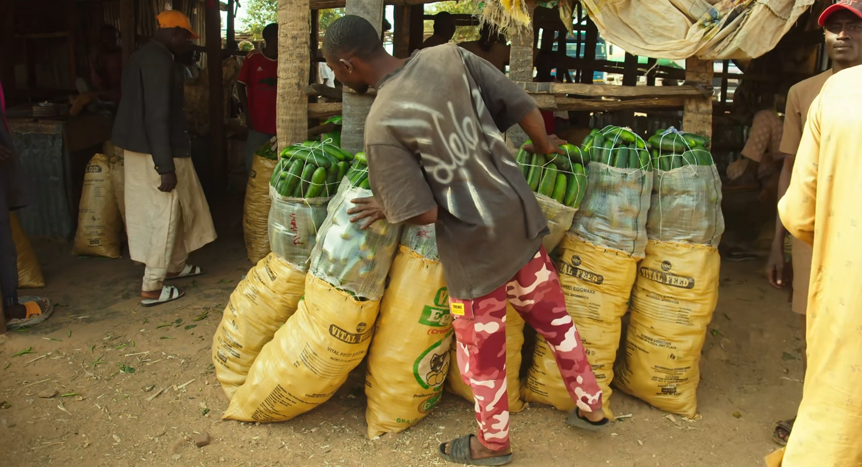
Economy & Climate
- Main Economic Activities: Farming, livestock rearing, and trading.
- Climate: Tropical savannah climate suitable for crop farming.
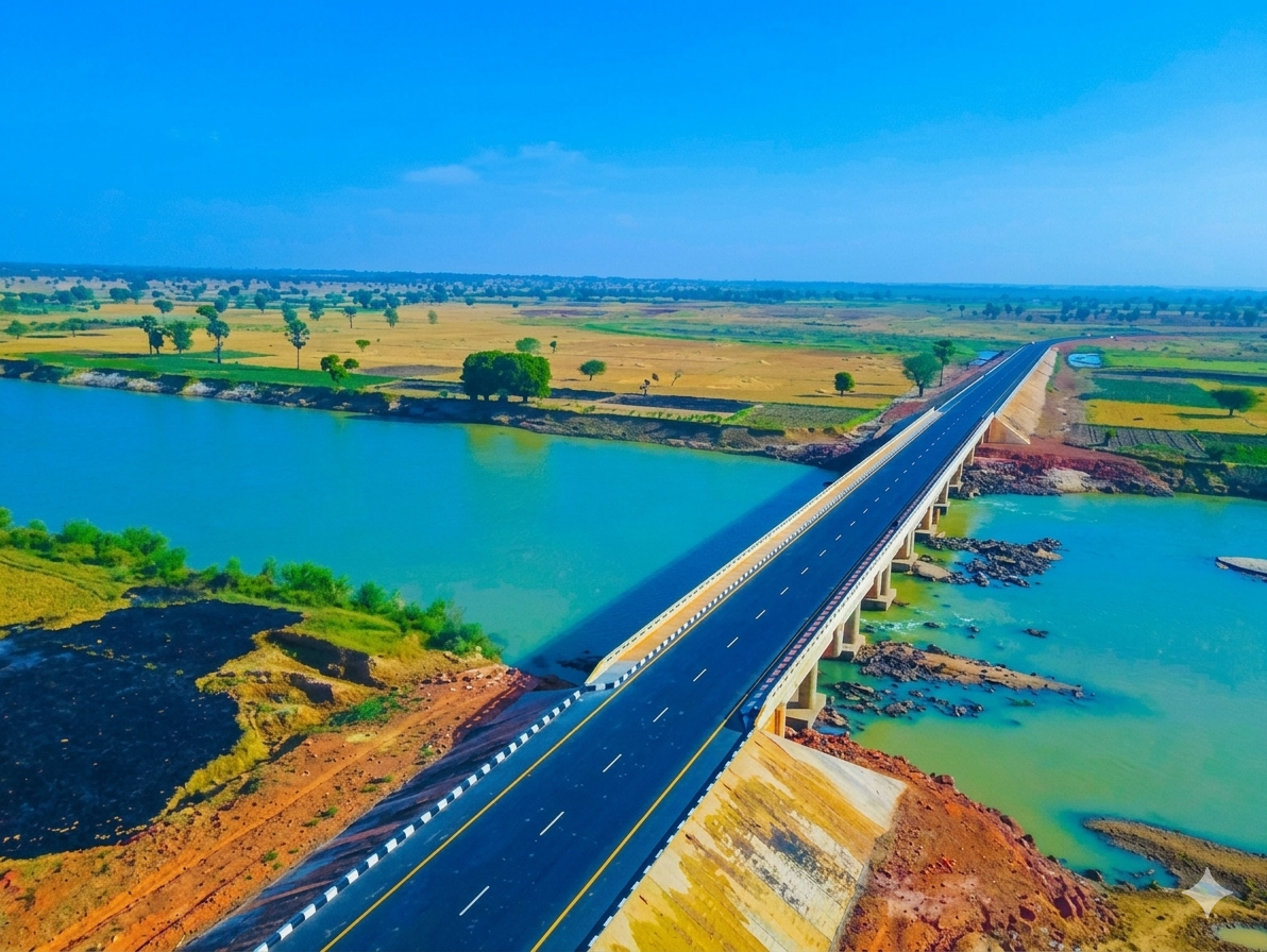
Geography & Economy
Location
Kaura lies in Southern Kaduna with upland terrain, valleys, and arable land that support farming and settlement.
Climate
The area experiences a rainy season between May and October and a dry season between November and April.
Main Economic Activities
- Crop Farming: Maize, millet, sorghum, ginger, and groundnuts.
- Livestock Rearing: Cattle, goats, sheep, and poultry.
- Local Markets: Agricultural produce trading across rural communities.